Lidar data does not arrive as a finished deliverable. It has to be corrected, aligned, classified, checked against control, and translated into something the customer can actually use. That is why Aerotas treats lidar processing as a serious production workflow rather than a simple sensor add-on.
Where the value comes from
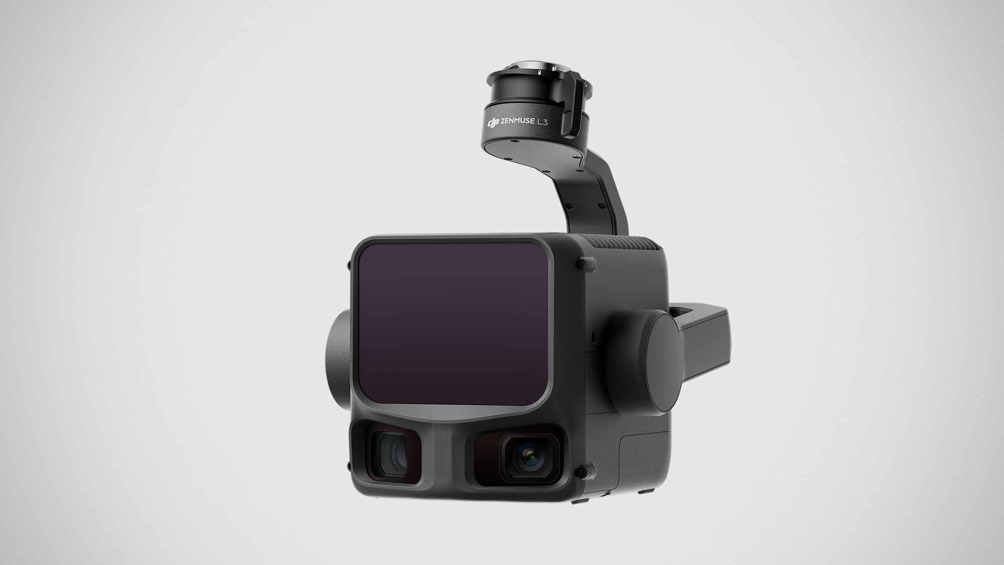
Lidar is valuable when the site needs vegetation penetration, corridor support, or geometry that imagery alone will not produce cleanly enough. The technology can be outstanding on the right projects.
Why the workflow is harder
Trajectory handling, IMU and GNSS quality, calibration, noise management, and classification all affect the final result. Errors can enter at several points, and they often require experienced review to catch and correct.