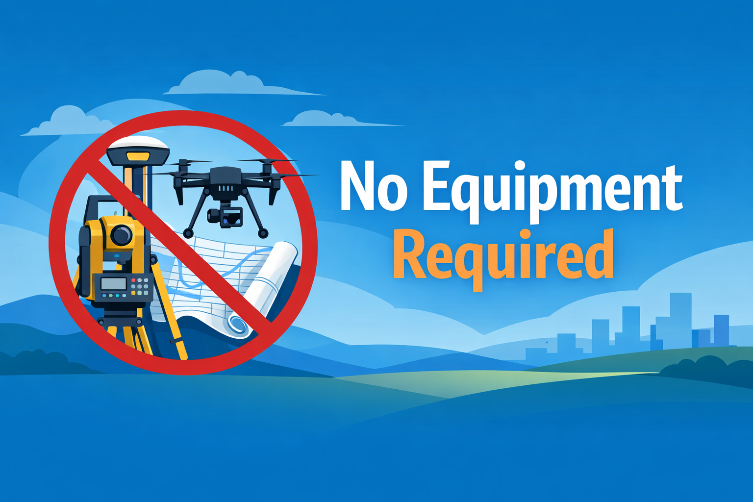
Aerotas breaks the workflow into understandable steps, but the customer experiences it as one thing: a final map. That deliverable only works when the mission planning, GNSS, processing, classification, surface modeling, and drafting all support each other instead of fighting each other.
What the final map needs to do
It should be lightweight enough to use, accurate enough to trust, and organized enough to fit into the customer’s existing CAD or GIS workflow. That is why the final map is a stronger measure of technical competence than any single upstream spec.
Why Aerotas focuses on workflow integration
The site and SurvCon material both point to the same conclusion: better workflow produces better results. Aerotas capability is not just about owning advanced tools. It is about combining those tools into a repeatable production system that ends in a map the customer can work with immediately.