Data center projects are schedule-sensitive, utility-heavy, and usually spread across more than one survey problem. Teams may need greenfield topo, corridor and transmission mapping, construction support, and later expansion work, often on overlapping timelines. The value of drone surveying here is not novelty. It is faster access to usable site information, broader visual coverage, and a cleaner path to deliverables that engineers and surveyors can actually work from.
Aerotas fits into that workflow in two ways. Some firms already collect their own drone data and use Aerotas data processing to turn it into drafted CAD, surfaces, point clouds, and orthomosaics. Others want Aerotas to handle both fieldwork and production through Aerotas Atlas, which is the faster path when collection logistics, equipment, or staffing are the real constraint.
Where Aerotas is useful: data center work often includes large sites, tight delivery windows, and multiple handoffs between owners, civil teams, utility groups, and contractors. Those conditions reward workflows that reduce rework and make deliverables easier to trust.
1. Greenfield site surveying for early planning and design
Many new data centers start on large greenfield tracts where teams need a fast picture of terrain, drainage, access, adjacent constraints, and existing improvements. Drone surveying helps cover those sites efficiently while preserving the broad visual context that is hard to get from ground shots alone.
Aerotas supports this phase by producing deliverable-ready mapping that helps licensed surveyors and engineers move into planning sooner. Depending on the project need, that may include orthophotos, point clouds, topo surfaces, contours, and drafted linework that can feed civil design and site layout decisions.
What teams usually need
- Existing-ground context across a large prospective site
- Topographic surfaces and contours for early grading and drainage thinking
- Drafted visible features that fit CAD and engineering workflows
How Aerotas helps
- Processing-only support for firms that already fly their own projects
- Full collection and processing when field capacity or equipment is the bottleneck
- Deliverables structured to reduce production burden on internal teams
2. Powerline and energy infrastructure surveying
Data centers depend on power, and the survey workload often extends beyond the fenced site itself. New substations, utility corridors, transmission tie-ins, and related energy infrastructure can become just as schedule-critical as the building pad. Drone workflows are valuable here because they can cover linear infrastructure and hard-to-access areas with better speed and visual continuity than many conventional-only approaches.
Aerotas is particularly useful when utility and civil teams need a consistent production partner for corridor-style mapping, visible feature extraction, and deliverables that support design, coordination, and upgrade planning. For firms collecting their own corridor data, Aerotas can take on the back-end processing workload. For teams that need field capture too, Atlas provides a single path from collection through handoff.
Related scope
For utility-heavy projects, the closest product reference is the Power Line Survey page, which shows how Aerotas approaches corridor and power-infrastructure deliverables.
3. Construction support during active buildout
Once a data center project moves into active construction, the surveying need changes. The job becomes less about initial site discovery and more about keeping a fast-moving project aligned with current conditions. Drone data helps teams document progress, understand grade change, track site development, and maintain a current visual record across large areas that evolve week by week.
Aerotas helps during this phase by giving teams a reliable way to convert repeat capture into usable deliverables without overloading internal staff. That matters when the survey group is already balancing traditional field work, staking, as-builts, and contractor requests at the same time.
4. Expansion, retrofits, and upgrades
Not every data center project starts from bare land. Many programs involve adding buildings, expanding yards, upgrading utility infrastructure, or improving capacity around operating facilities. Those projects tend to have tighter access constraints, more coordination requirements, and less tolerance for incomplete site context.
Drone surveying still plays a useful role here, especially when teams need current imagery, existing-condition mapping, and support around utility or corridor improvements. Aerotas can step in either as a production partner behind an internal drone program or as the field-to-finish provider when the project team needs outside capacity quickly.
5. Specialty support by delivery model
The right Aerotas engagement depends on where the constraint sits in your workflow. If your team already has pilots, aircraft, and field procedures, the cleanest fit is often data processing only. Aerotas takes the raw imagery and related survey inputs and turns them into final mapping outputs faster, with QA discipline and predictable turnaround.
If the field side is the harder problem, Aerotas Atlas is the better fit. Aerotas handles collection and processing together, which is useful for large sites, corridor work, or projects where mobilization speed matters more than building an in-house collection stack.
Choose data processing when
- Your team already flies projects and needs production capacity
- You want drafted outputs without growing internal processing headcount
- You need dependable turnaround across multiple project phases
Choose Atlas when
- You need Aerotas to handle field collection and office production together
- The project is large, urgent, or difficult to staff internally
- You want one handoff path instead of managing multiple vendors
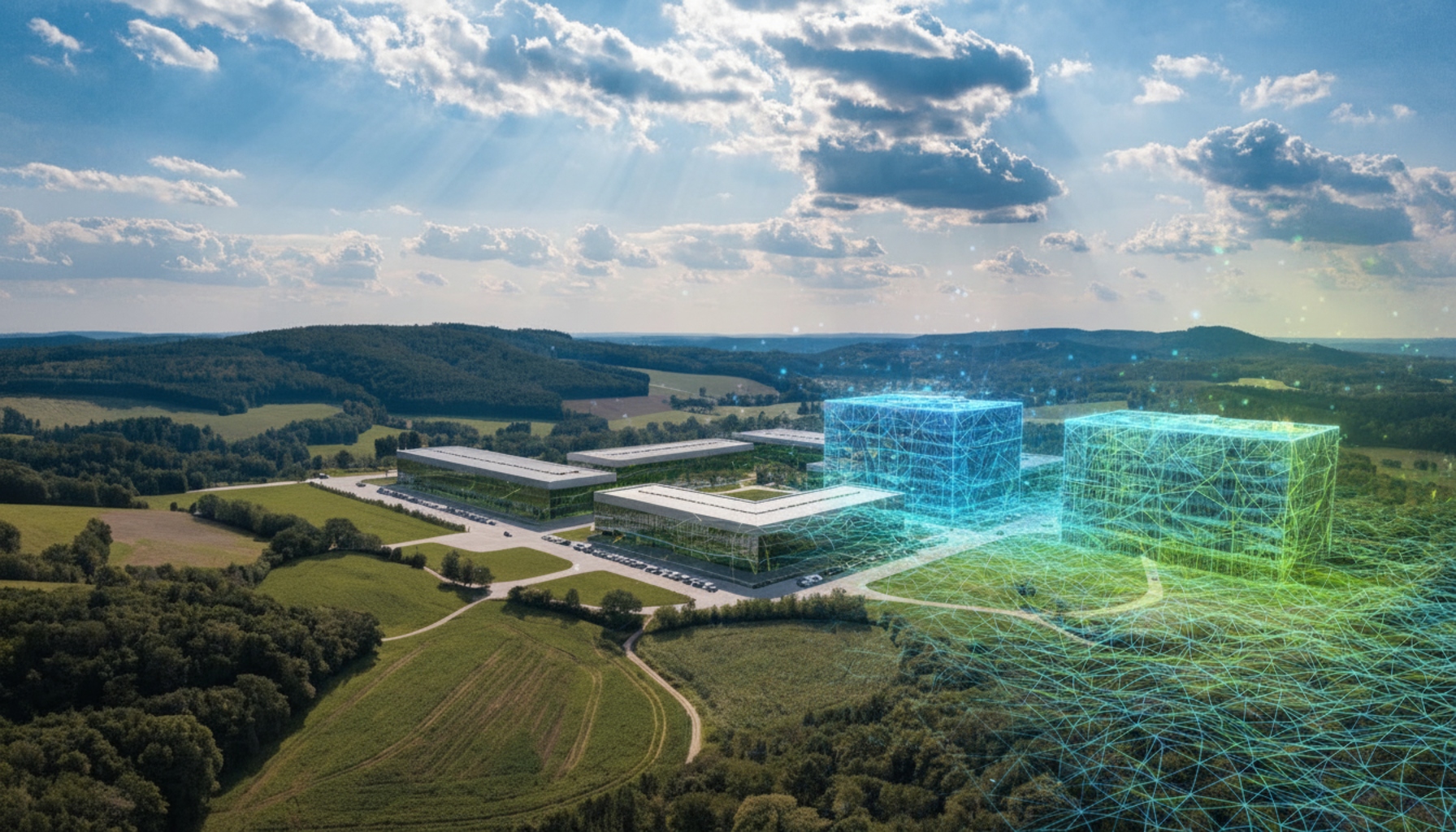
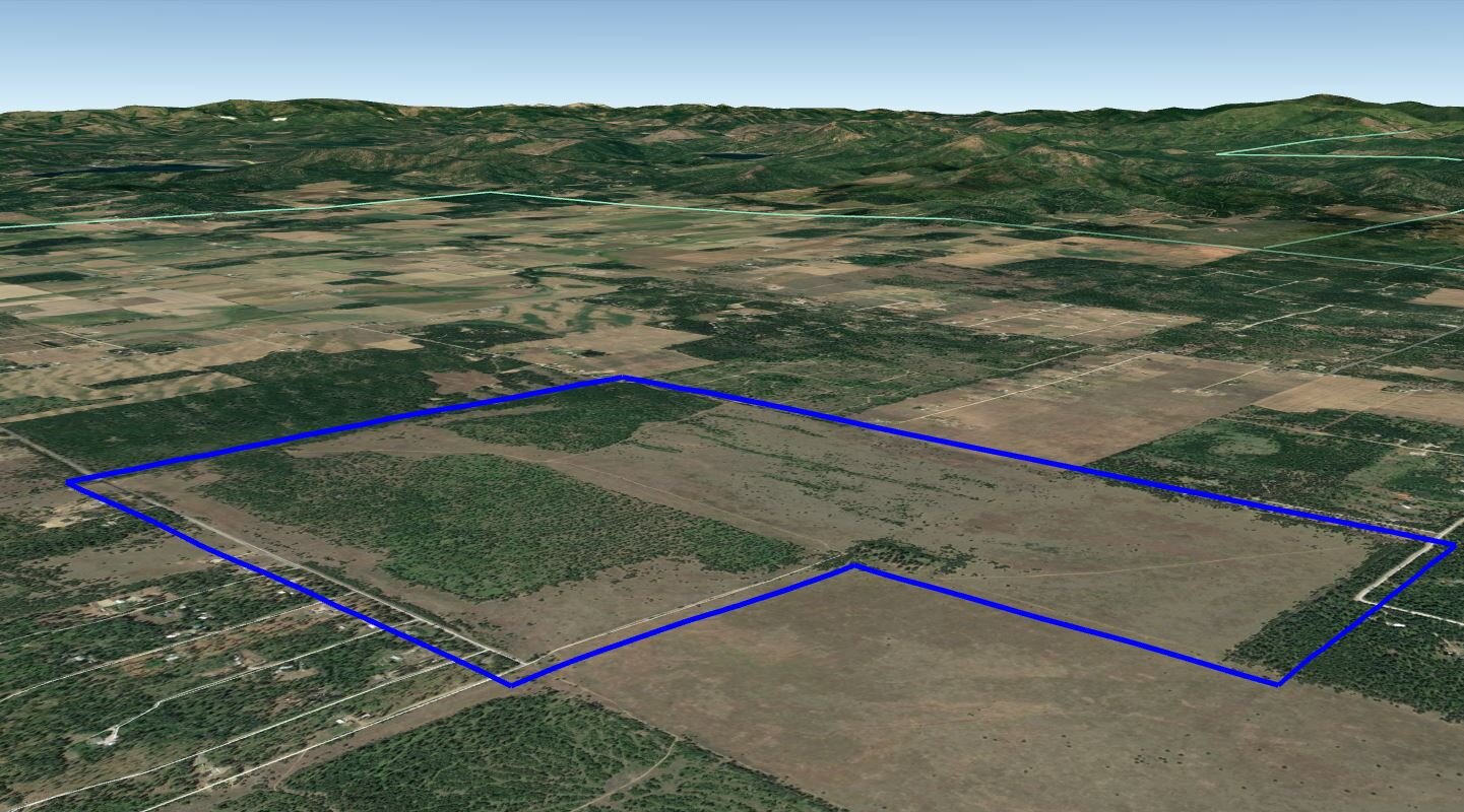
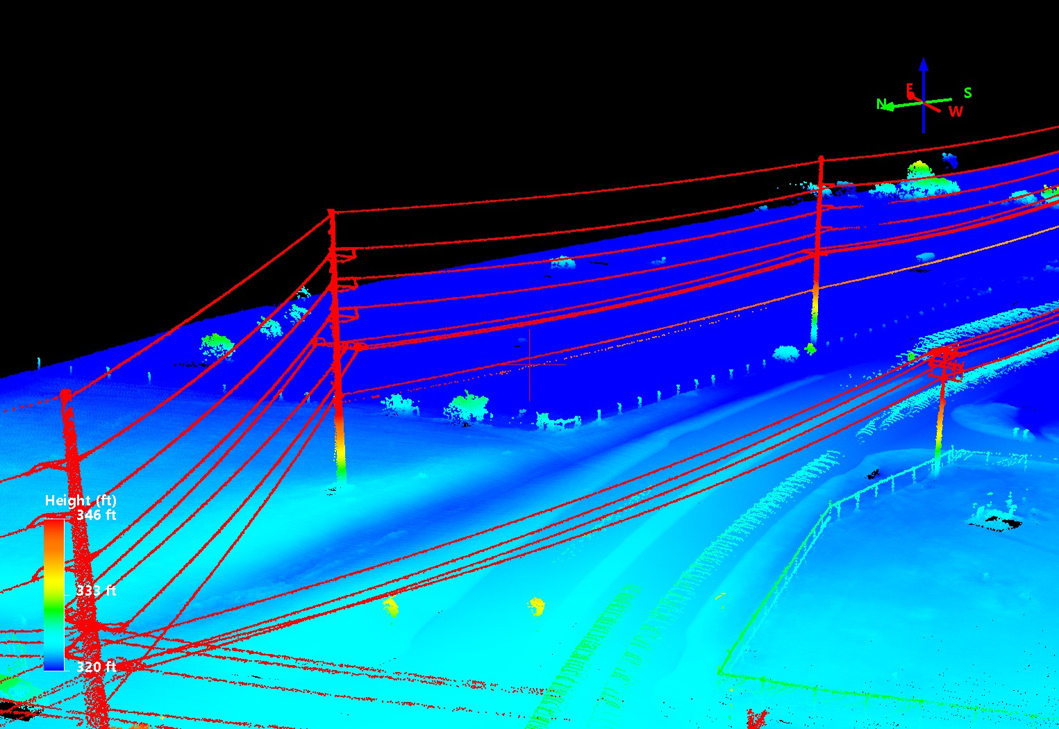
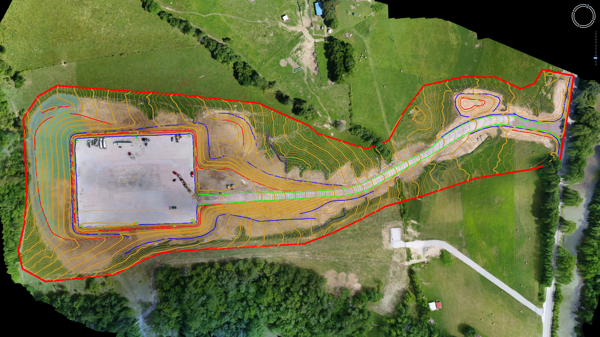
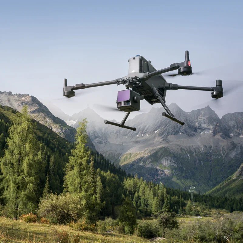
Placeholder project example images
The images below are placeholders that represent the kinds of project examples Aerotas can use to tell this story publicly as more data-center-specific assets are selected.
Why this matters now
The current buildout of AI-related data center capacity in the United States is increasing demand for faster site information and more scalable survey production. Aerotas helps firms respond to that demand with a practical model: use drones where they add speed and coverage, then make sure the output reaches CAD and engineering teams in a form they can actually use.
That combination is what makes Aerotas relevant to data center projects. It is not just about collecting aerial data. It is about reducing schedule drag between field conditions and final deliverables.
Need help on a data center or utility-heavy project?
If you are evaluating a greenfield site, supporting utility upgrades, or trying to keep construction mapping moving, Aerotas can help you decide whether processing-only support or full Atlas collection is the better fit.