A professional drone-survey workflow usually follows five broad stages: mission planning, data collection, point-cloud or photogrammetry processing, linework drafting, and final map production. The exact tools vary from project to project, but the sequence stays largely the same.
This matters because many failed drone programs focus almost entirely on the aircraft and pay too little attention to the workflow around it. The equipment is visible. The workflow is where accuracy, repeatability, and profitability are won or lost.
1. Mission planning
Mission planning sets the rules for everything that follows. At this stage, the team decides what deliverable is needed, what accuracy must be achieved, whether the site is appropriate for aerial capture, which aircraft and sensor are appropriate, what control strategy will be used, and how the flight will be structured.
This is also where legal and operational constraints are checked: airspace, site access, public exposure, terrain, battery counts, and the amount of overflight needed beyond the mapped limits.
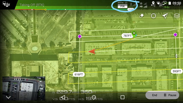
2. Data collection
Collection is the field phase. The team flies the aircraft, gathers imagery or lidar, and captures the related ground data such as control points or checkpoints. Consistency matters here. The overlap, altitude, lighting, camera settings, and control visibility all affect the reliability of the final model.
Aerotas has historically recommended simple, repeatable field patterns rather than overcomplicated missions. The goal is not to collect the most data possible. The goal is to collect the right data for the deliverable at hand.
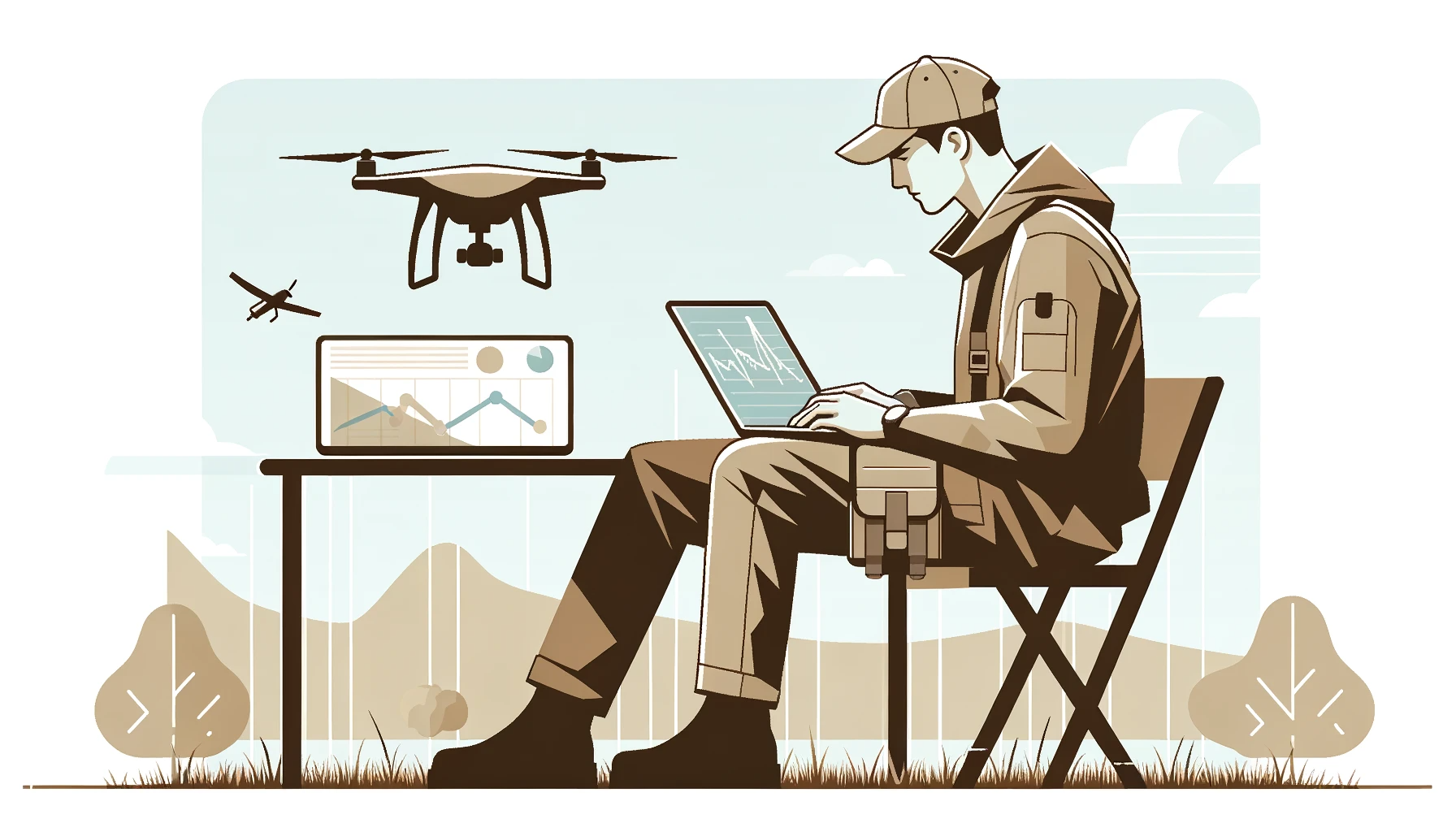
3. Processing the aerial data
Once the field data is uploaded, the imagery or lidar must be processed into usable mapping outputs. In photogrammetry, that generally means aligning images, calibrating the camera model, integrating control, building the dense model, and creating products like orthophotos, surfaces, and point clouds.
This stage is also where a large amount of quality assurance happens. Camera issues, control mistakes, lighting problems, flight-pattern errors, or coordinate mismatches often become visible in processing before they ever show up in a final drawing.
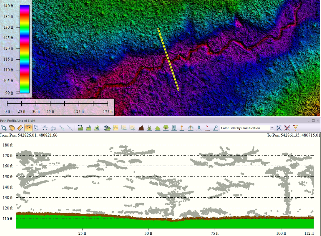
4. Drafting and extraction
Raw point clouds and full-resolution photogrammetry products are usually too large and too unstructured to function as final survey deliverables by themselves. Drafting is the process of extracting the useful information and translating it into CAD-ready geometry.
This is why Aerotas has long emphasized human-in-the-loop workflows. The final map still needs intentional decisions about what matters, how surfaces should be cleaned, where breaklines belong, and which visible features belong in the deliverable.
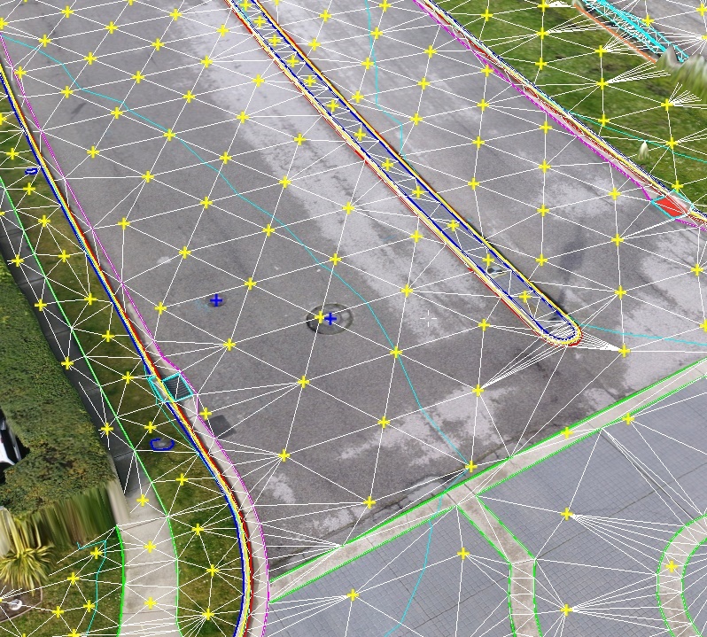
5. Building the final map
The last stage is assembling the outputs into the final deliverable package: surfaces, contours, spot elevations, linework, orthophoto context, and whatever else the project requires. At this point the work has to fit into the surveyor's existing CAD or GIS workflow cleanly and predictably.
The final product is not just a model. It is a professional deliverable that must hold up in downstream design, review, and production use.
Why the workflow matters more than the drone
Aerotas has repeatedly made the point that the drone itself is not the hardest part. Teams usually struggle more with operating procedures, quality control, georeferencing, and the path from aerial data to final linework than with simply getting an aircraft into the air.
The drone may be the exciting part of the system, but the workflow is what makes it a reliable business tool.
That is the reason good drone programs feel boring in a positive way. They are standardized, repeatable, and focused on the deliverable rather than the novelty of the aircraft.
Bottom line
Drone surveying works best when each stage feeds the next cleanly. Good planning produces good capture. Good capture produces workable processing. Good processing supports strong drafting. Good drafting produces a final map the client can actually use. That is the workflow the Getting Started section is meant to make easier to understand.