There is no practical upper limit to how accurate a drone survey could be if you imagine unlimited budget, equipment, and field effort. In the real world, though, most professional drone survey workflows are trying to hit a far more practical target: about 0.1 foot vertical accuracy on projects where that level of accuracy is appropriate.
The most important idea is that accuracy does not come from the drone camera alone. In fact, camera quality is often not the limiting factor. Accuracy is driven by the whole chain: mission design, overlap, flight altitude, ground control, checkpoints, GNSS performance, processing workflow, and quality assurance.
There is no single definition of "survey grade"
Aerotas has long emphasized that "survey grade" is not a universal number. A wheelchair ramp survey may demand extremely tight tolerances, while a large-area topo mapping project may have much looser requirements and still be entirely legitimate. Both can be survey grade if they meet the needs of the project and are measured against a clear standard.
That is why the first step is always to understand the needed accuracy for the actual job, not to reach automatically for the tightest number someone has heard in a webinar or spec sheet.
What usually limits accuracy
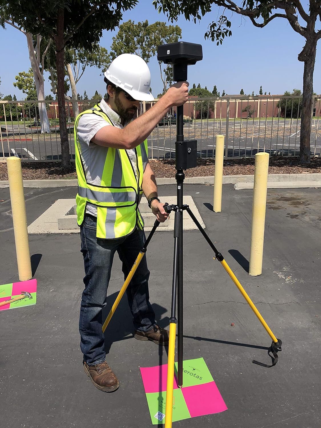
- Positioning quality. Weak GNSS data, poor base information, or bad ground control will undermine a project quickly.
- Ground control quantity and distribution. Too few points, or points in the wrong places, can cause accuracy to fall off sharply across the site.
- Flight altitude and overlap. These affect both resolution and model stability. Lower is not always better if the control strategy is poor.
- Site conditions. Tree cover, water, repetitive surfaces, shadows, and elevation change all influence the quality of the final model.
- Processing decisions. A strong field mission can still be damaged by weak calibration, georeferencing, or QA in processing.
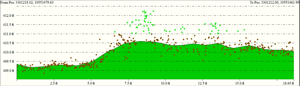
Accuracy is not the same thing as resolution
There is often confusion between image resolution and measurement accuracy. Resolution describes how much visual detail exists in a photo, often discussed in terms of GSD. Accuracy describes how well you can trust the measurements derived from that model.
You can have very sharp imagery and poor accuracy if the control, GNSS, or processing workflow is weak. That is why Aerotas has consistently described accuracy as a system-level outcome rather than a camera feature.
Absolute and relative accuracy are different
Relative accuracy is about how well points fit together inside a single project. Absolute accuracy is about how well the project fits the real-world coordinate system. A model can look internally consistent and still be shifted or tilted in the wrong place globally.
This distinction matters when projects are revisited, tied into other control, or merged with conventional field data. A workflow that seems accurate because everything lines up visually may still have a meaningful absolute error if the georeferencing is weak.
Why the weakest link matters
The easiest way to think about drone-survey accuracy is as a chain. If one link is weak, the whole project suffers. A great drone with poor control will produce poor results. Excellent control with weak processing can also fail. Hitting reliable project accuracy is mostly about avoiding weak links rather than chasing a single premium specification.
Practical rule: if the workflow is not designed around the required accuracy from the very start, it is difficult to recover that accuracy later in processing.
What Aerotas recommends
Aerotas generally recommends planning each project around the required tolerance, using independent checkpoints wherever possible, and treating the final deliverable as valid only when the field and office workflow agree. That is how a drone survey becomes professionally usable rather than merely impressive-looking.
For a client evaluating providers, that means asking a few direct questions: What accuracy is realistic for this site? What control strategy will be used? How will the result be checked? And what final deliverable will actually be certified or relied upon?