Resources Section
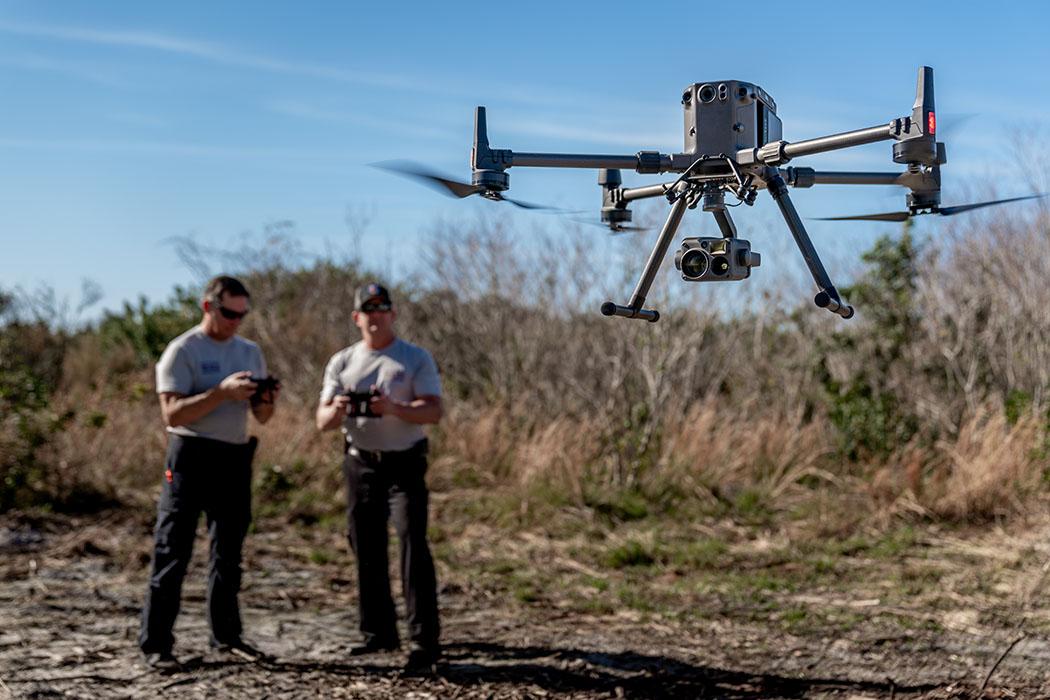
Getting Started with Drone Surveying
Decide whether drone surveying fits your work, what accuracy to expect, and where aerial methods actually save time on real projects.

Articles in this section
Back to ResourcesWhat Is Drone Surveying?
Understand what a drone survey actually includes, from aerial capture through control, processing, QA, and final mapping outputs.
Drone Surveying vs. Traditional Surveying
See how the strongest survey workflows combine drone capture with total stations, GNSS, and conventional field judgment.
When to Use Drones and When Not To
Use a practical site-fit checklist to decide where drones add value and where vegetation, regulations, or tolerances change the answer.
The Accuracy of Drone Surveys
Learn what usually drives drone-survey accuracy and what conditions have to be in place to reach dependable mapping tolerances.
Measuring and Reporting Accuracy
Know what credible accuracy reporting should include, including checkpoints, RMSE, and a clear statement of what was tested.
The Drone Surveying Workflow
See the full workflow from mission planning through drafting so you know what a production-ready drone survey process should include.