Aerotas generally recommends standardizing around the most field-proven hardware that your customers and contracts allow. Across the current source material, that still means DJI is the easiest answer for most private-sector surveying work because the systems are more integrated, more reliable, and easier to use than the alternatives.
Best small-drone workhorse
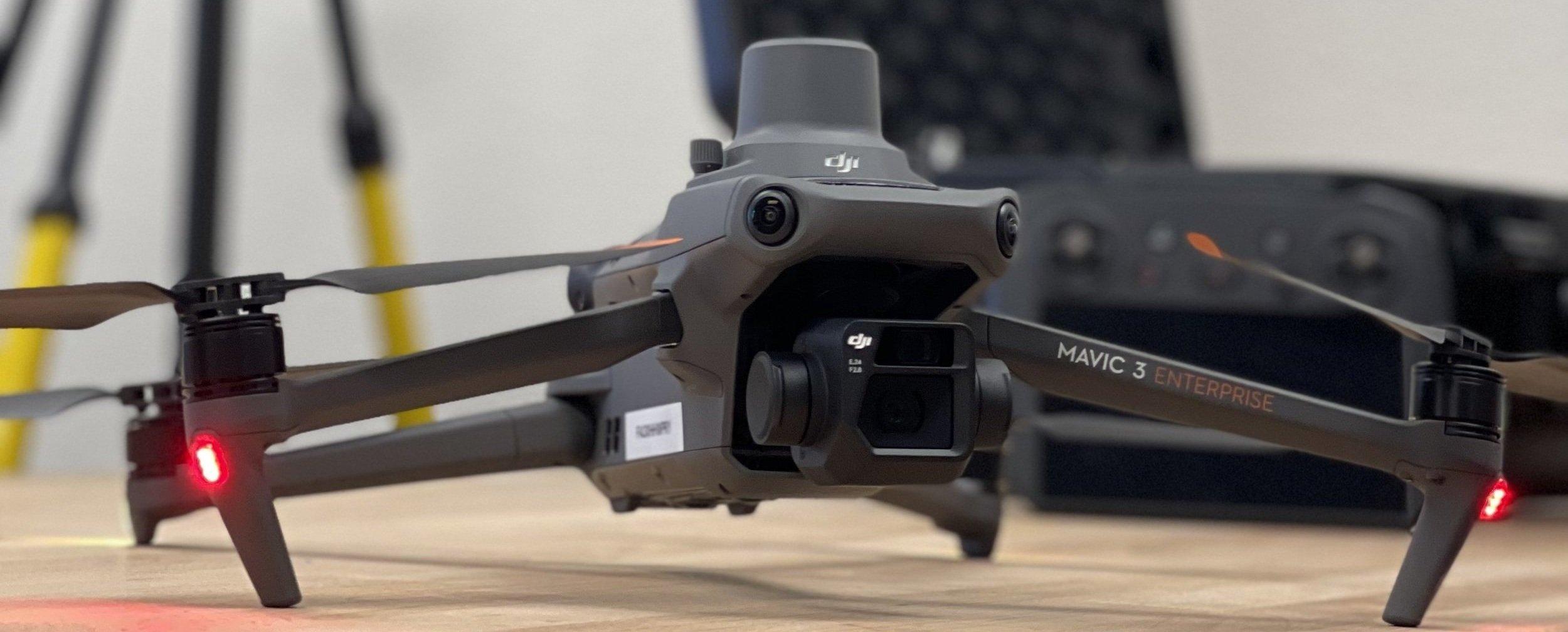
For many survey teams, a compact RTK photogrammetry drone is the right first purchase. Aerotas has repeatedly recommended this class of aircraft because it is the easiest way to get real production value from drone surveying without taking on unnecessary complexity.
In practical terms, the small-drone slot should be the aircraft you can keep in the truck, deploy quickly, and trust on the broadest range of standard topographic and planimetric jobs.
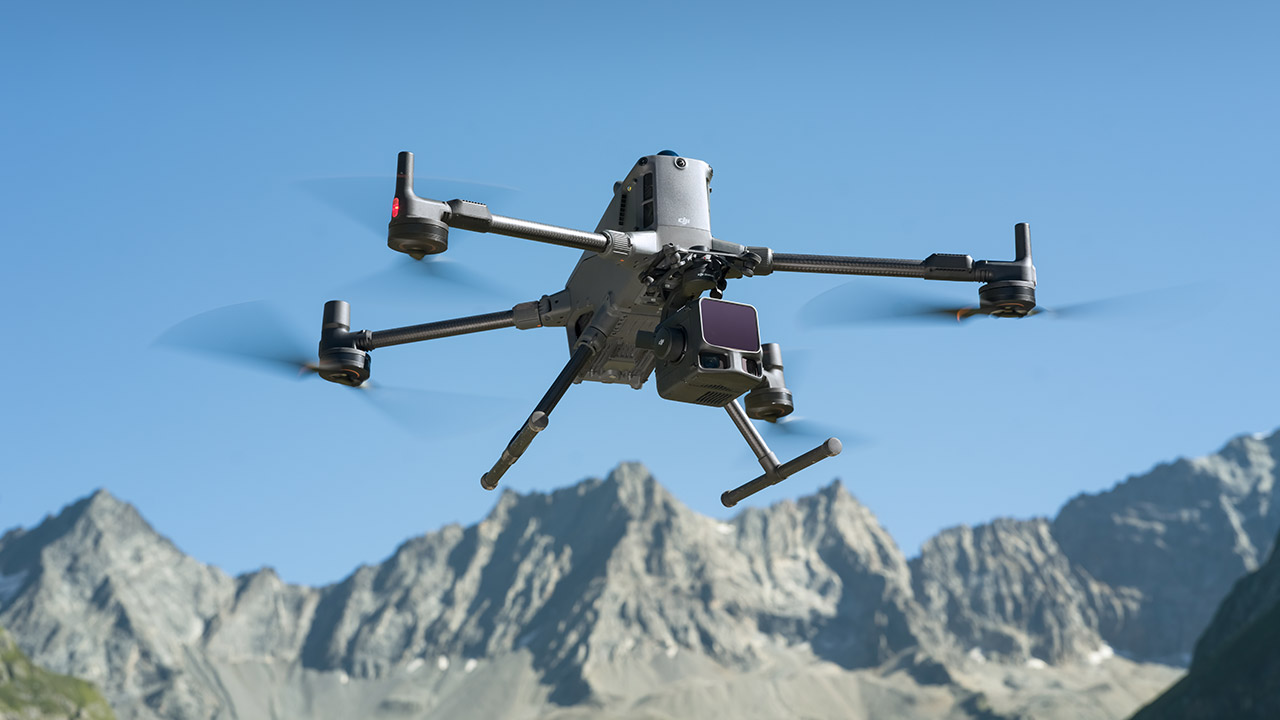
Best lidar system for most firms
When the workflow truly requires lidar, the integrated DJI large-platform systems remain the cleanest recommendation in Aerotas source material. The reason is not just sensor performance. It is the entire system: payload integration, mission software, trajectory handling, and downstream processing are all much easier to manage than most non-DJI stacks.
That matters because a lidar system is only valuable when the team can repeatedly collect usable data and process it without constant troubleshooting.
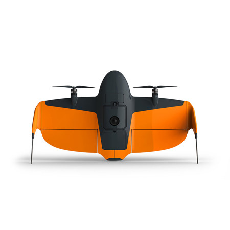
Best fixed-wing option for very large sites
If the priority is massive area coverage and a non-DJI option is needed, fixed-wing and VTOL platforms like Wingtra become more relevant. Aerotas still treats them as a specialized recommendation rather than the default because they are more expensive, less flexible in many day-to-day situations, and usually harder to run than a multirotor.
Recommendation hierarchy: standardize first on the platform that fits the most work, then add specialist hardware only when the volume of vegetated, corridor, or ultra-large-area jobs justifies it.
Buy for the work you actually do
Hardware should match your customer mix. If most of your projects are open sites where photogrammetry works well, a simple RTK image drone is still the most defensible starting point. If you routinely deal with corridors, vegetation, or power infrastructure, then lidar may deserve priority. If public-agency restrictions block DJI, budget not only for the hardware but also for the higher operating and training burden that comes with non-DJI systems.