Photogrammetry and lidar are both legitimate survey tools, but they solve different problems. Aerotas guidance has long been to avoid treating lidar as a universal upgrade. For many sites, photogrammetry is still cheaper, easier to collect, easier to process, and easier to scale.
Where photogrammetry wins
Photogrammetry is usually the right choice on open sites with strong surface visibility. It performs especially well on hardscape, pavement, grading, and other projects where the main goal is high-resolution imagery, a clean surface model, and drafting context.
It also tends to be the lower-drag workflow operationally. The aircraft are often smaller, the field setup is lighter, and the processing stack is simpler for most firms to manage or outsource.
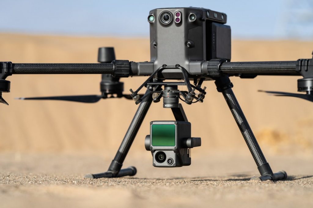
Where lidar wins
Lidar becomes attractive when the ground cannot be seen reliably from imagery alone. Vegetated sites, power-line corridors, and projects with vertical complexity are where lidar most often justifies its additional cost and complexity. It does not magically solve every problem, but it can produce usable ground information where imagery-based methods struggle.
Aerotas shorthand: photogrammetry for hardscape, lidar for vegetation. If you do not need vegetation penetration or a lidar-specific use case, photogrammetry is usually the better business decision.
What buyers often miss
The real tradeoff is not just accuracy. It is workflow complexity. Lidar systems cost more, weigh more, require more training, and generally demand more from both the flight team and the processing team. If your project mix does not need that capability often enough, the system becomes expensive overhead.
Some firms eventually fly both data types on the same project, which can be an excellent solution when the site supports it and the deliverable justifies it. But most teams should decide first which method solves the majority of their actual jobs.