Aerotas Atlas is the premium all-in-one mapping solution for customers who do not want to manage field capture, processing, and production as separate risks. It is built for the jobs where getting the site wrong is more expensive than buying the stronger workflow upfront.
Atlas combines field collection and production under one Aerotas-managed process. That is what makes it different. You are not just buying processing help. You are buying a higher-confidence mapping outcome.
Best Fit
Choose Atlas when you want Aerotas to own the hardest parts of the job, not just support them.
- You need field collection and processing coordinated together.
- You care deeply about accuracy, redundancy, and avoiding costly revisits.
- You want the premium Aerotas workflow for difficult or high-value sites.
What makes Atlas different
Most Aerotas products assume you fly the site and Aerotas processes the data. Atlas changes that model. Aerotas handles both collection and processing so the full workflow can be designed around accuracy, redundancy, and deliverable quality from the start.
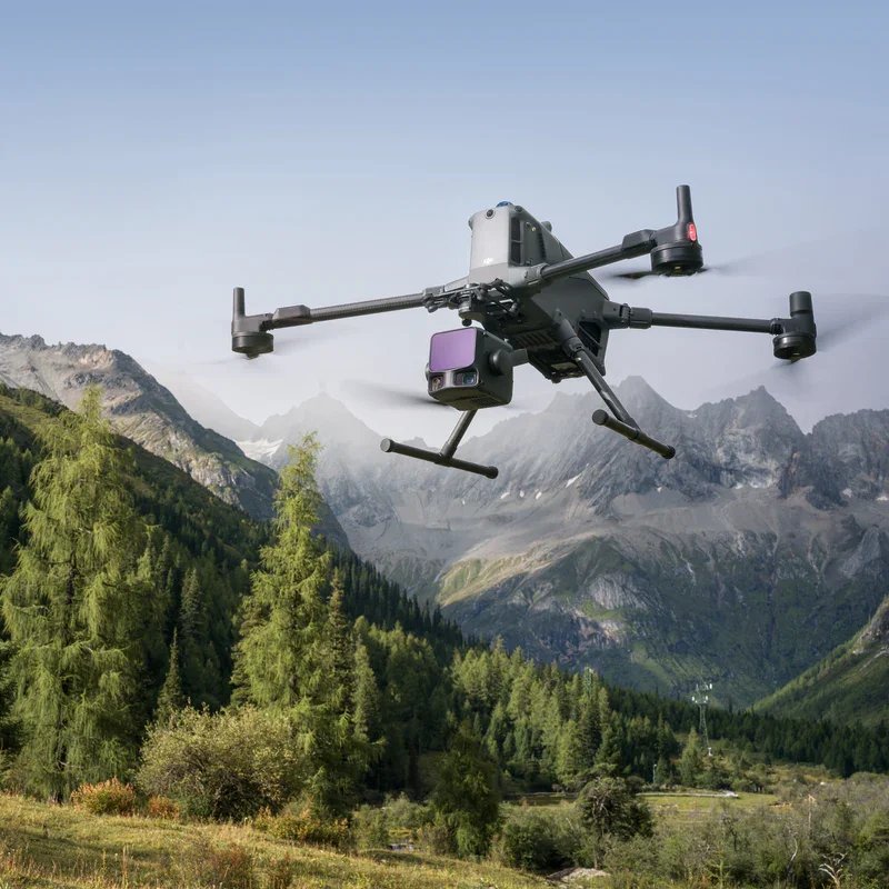
According to the live Atlas positioning, every project combines ground-based GNSS data, aerial photogrammetry, and aerial lidar. The point is not just technical sophistication. The point is reducing the risk of bad data, missed conditions, and expensive revisits.
End-to-end capture and production
Atlas is positioned for customers who want one mapping partner handling the complete workflow, not a split handoff between field collection and office production.
Premium hardware plus premium process
The value is not just better equipment. It is the full Aerotas methodology around accuracy, redundancy, and deliverable confidence.
What the customer gets
- A complete CAD-format map with drafted linework of meaningful site features
- High-resolution current imagery
- A clean drafted topographic model with contours and surface information
- Intermediate files and supporting datasets used in production, where applicable
In other words, Atlas is not sold as a single file type. It is sold as confidence in the full deliverable package.
Why teams choose Atlas
Atlas is aimed at customers who care deeply about three things: accuracy, reliability, and speed to usable data. The Atlas page emphasizes all three. Aerotas positions the workflow as highly redundant, able to operate on difficult sites, and designed to avoid the site revisits and production delays that follow weak capture.
This is also why Atlas is more than “better hardware.” The value comes from the system: field methods, redundancy, processing discipline, and final deliverable quality all working together.
When Atlas is the right choice
- Projects with high accuracy demands and high consequences for rework
- Large or operationally difficult sites
- Customers who want Aerotas to manage capture and processing together
- Teams that need a premium end-to-end mapping partner rather than overflow processing support
For routine projects where your team already captures good field data, another Aerotas product may be more efficient. But when the site, schedule, or risk profile is higher, Atlas is the product built for that level of responsibility.
Next Step
If the cost of a bad map or a repeat site visit is high, Atlas is the conversation to have first.
That is when the premium workflow pays for itself.